
Service 01 · Mapping and Survey
Mapping and Survey
LiDAR, RTK positioning, high resolution optics and range finding, combined into a professional mapping and survey service built for construction and land.
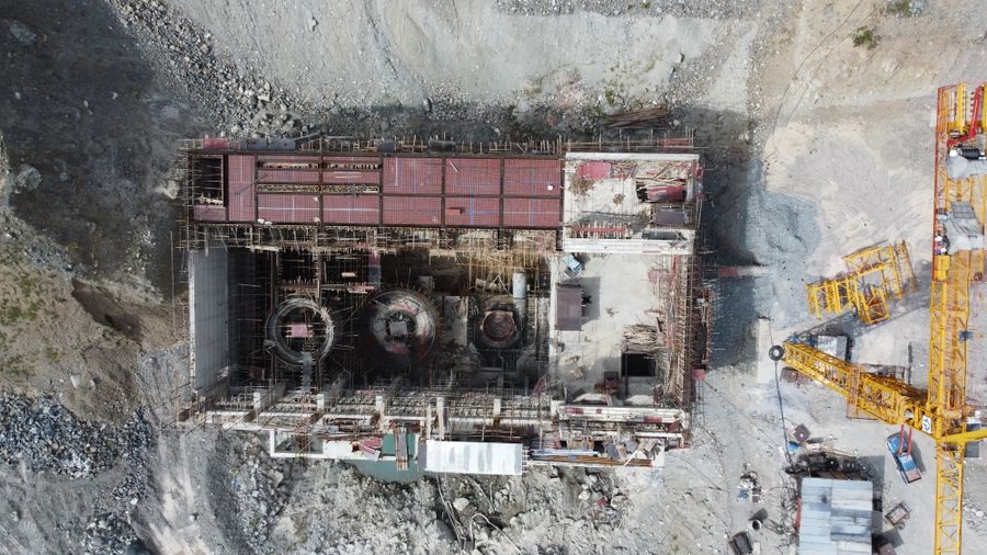
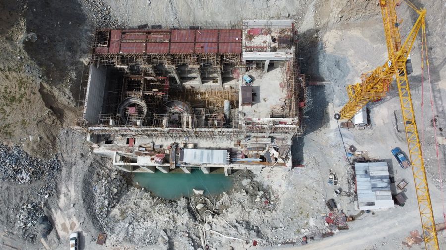
The survey
Survey grade data, without weeks of ground work
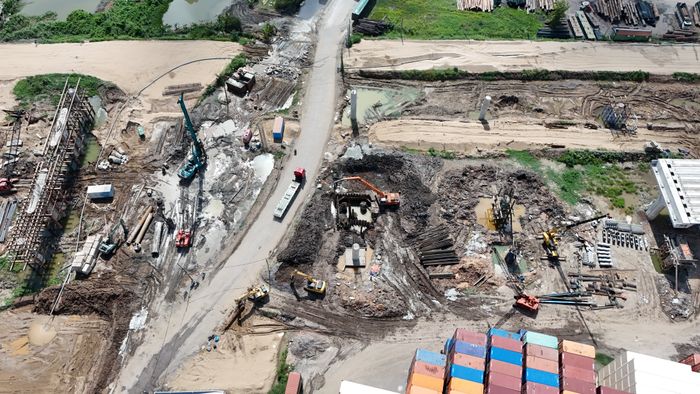
Working in construction or land development and need numbers you can trust? We combine LiDAR, RTK positioning, high resolution optical cameras and range finding to capture a site accurately, quickly and safely.
Whether you need volumetric measurements for earthworks, an orthomosaic for planning, or a digital terrain model for design, the same flight can capture the inputs your engineers and surveyors actually need.
- Centimetre level accuracy with RTK positioning
- Digital terrain and surface models
- Orthomosaics and volumetric reports
- No ground team exposed to live site hazards
How it works
From site visit to survey grade deliverables
Click through the steps below to see how this service runs.
Scope the site
We agree the area, the ground control points needed, and exactly what deliverables the job requires.
Fly the survey
RTK positioned flights capture the site with LiDAR, optical imagery and range data as needed.
Process the point cloud
Raw data is processed into orthomosaics, terrain models and volumetric calculations.
Deliver survey grade data
You receive files your engineers and surveyors can drop straight into their existing workflow.
Traditional ground survey
- A survey team walking the site for days or weeks
- Limited coverage in difficult or hazardous terrain
- Slower turnaround before design work can start
Aerial RTK survey
- Full site capture in a single flight programme
- Every part of the site covered, however it is accessed
- Deliverables ready in days, not weeks
Who it is for
Anyone who needs to measure the ground accurately
Ready when you are
Get survey grade data on your site
Tell us the site size and the deliverables you need, and we will plan the flight.
Explore more